Why use remote sensing?
- To predict harvests
- To monitor nature reserves
- To monitor water quantity and quality
- To carry out infrastructure checks on roads, bridges, tunnels, levees and lock complexes
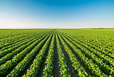
Remote sensing for a sustainable harvest
Belgian potato growers need more and better potatoes to be able to meet growing demands. With the WatchItgrow app they're now able to monitor their harvests, avoiding crop disease, yield and quality loss. The app tells them when to fertilize, spray or harvest. With better crop yields as a result.
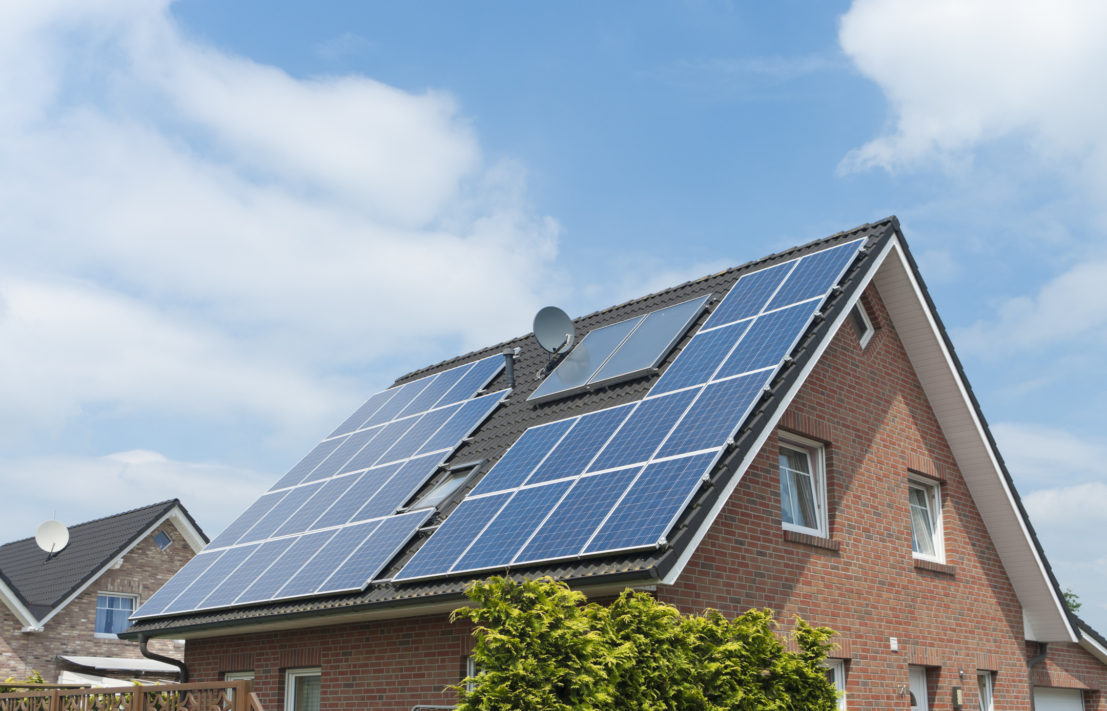
Is your roof suitable for solar panels?
One in eight buildings in Flanders has solar panels on its roof. That means there's still potential for solar energy. The Flemish Government has set up a campaign to promote solar panels among its citizens. That's why it has created an online tool, 'the solar map'. It shows how suitable your roof is and how much a solar installation would cost and yield.
Aardobservatie voor humanitaire doelen?
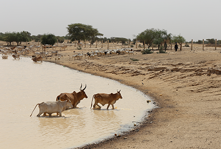
Which sahel area has the best the chances of survival for cattle herds?
The wet season in countries such as Mali and Niger is short, lasting from July to October. Nomadic cattle herders have to decide where to go with their herds. A crucial choice, as they have to be able to survive in the dry season, which lasts a lot longer. How do they increase the survival chances of their herds? The international ngo Action Against Hunger uses VITO satellite data to monitor droughts and find water and grass for these nomadic herds.
Satellite mapping of grass and water
To gather geo data about Sahel droughts Action Against Hunger has been collaborating with VITO since 2005. The data, provided by the Belgian PROBA-V satellite, are transformed into interactive maps that are easy to interpret.
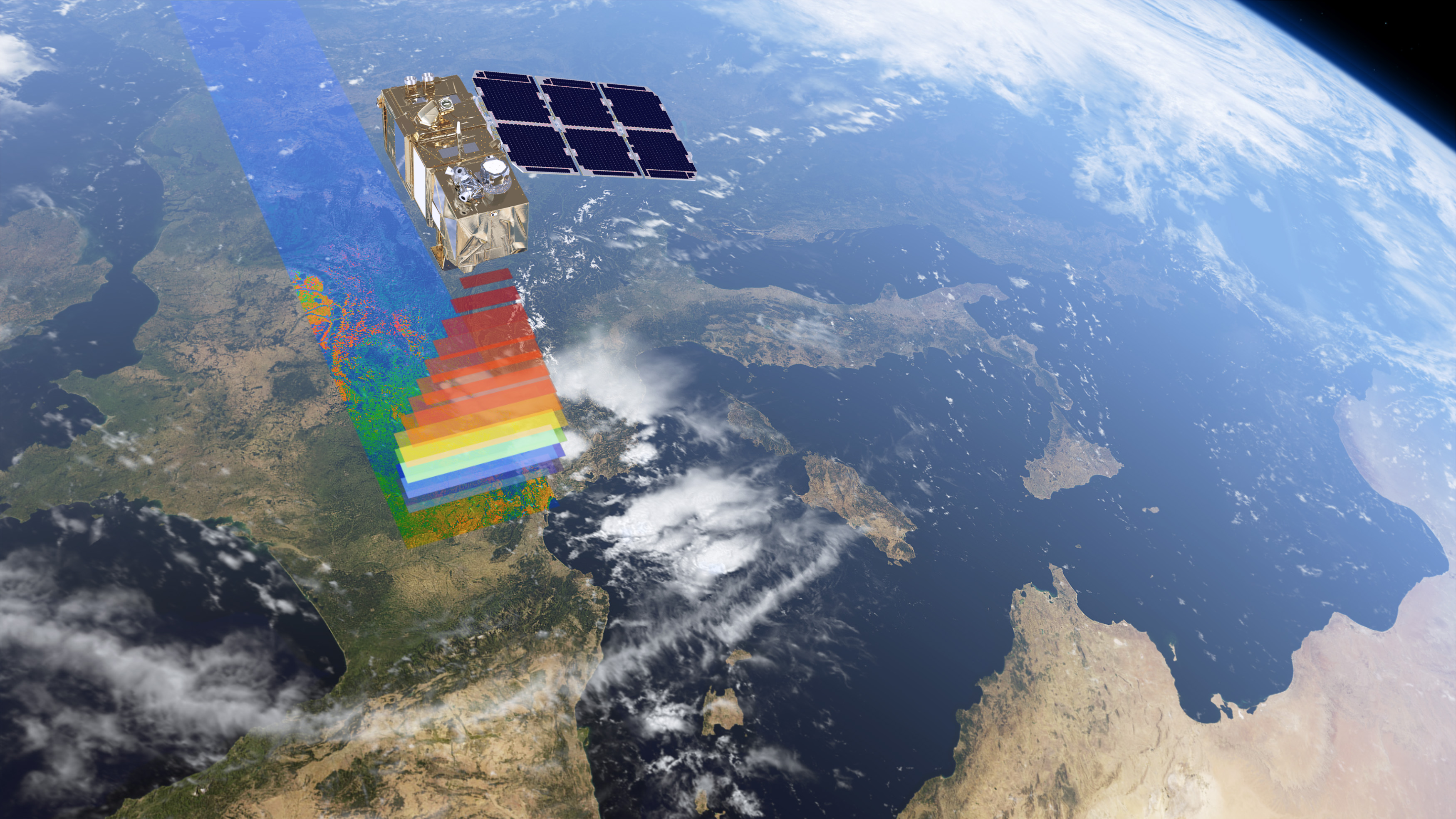
PROBA-V
Terrascope makes satellite data readily available for Belgian users
Online platform for industry, governments, academia and citizens
Satellites give a lot of detailed and crucial information about our planet. About the state of our natural environment, the impact of climate change and urban development. A lot of these data are free and available to the public. But what use are they if you don't speak the language of satellites? Terrascope translates satellite imagery into ready-to-use information.
