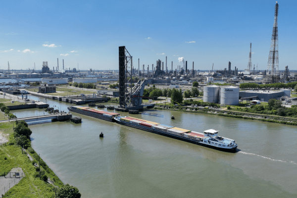
VITO applies geological and minewater modelling for creating computerized representations of the underground and the groundwater flow within. The resulting 3D geological and hydrogeological models are used for managing and quantifying natural resources. In particular, Minewater modelling supports  the drafting of mine abandonment plans and the development of new applications such as the use of flooded mines for geothermal energy production or storage.

R&D
+32 14 33 56 10

Publications

A Hybrid Approach Using GIS-Based Fuzzy AHP-TOPSIS Assessing Flood Hazards along the South-Central Coast of Vietnam
Year: 
2020
Journal: 
APPLIED SCIENCES-BASEL
Nguyen, HX; Nguyen, AT; Ngo, AT; Phan, V; Nguyen, TD; Do, V; Dao, DC; Dang, DT; Nguyen, AT; Nguyen, TK; Hens, L
Differential effects of wetting and drying on soil CO2 concentration and flux in near-surface vs. deep soil layers
Year: 
2020
Journal: 
BIOGEOCHEMISTRY
Min, K; Berhe, AA; Khoi, CM; van Asperen, H; Gillabel, J; Six, J
Late Miocene increase in sediment accommodation rates in the southern North Sea Basin
Year: 
2020
Journal: 
GEOLOGICAL JOURNAL
Jef, D; Louwye, S
Introducing the Vale Formation in the southern central North Sea Basin, offshore Netherlands
Year: 
2019
Journal: 
MARINE AND PETROLEUM GEOLOGY
Deckers, J; Munsterman, D

Pages