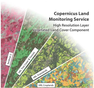
Copernicus expands agricultural monitoring with the support of VITO’s remote sensing expertise
On 13 May 2025, the European Environment Agency (EEA) announced a significant milestone within the Pan-European component of the Copernicus Land Monitoring Service (CLMS). For the first time, the portfolio of High Resolution Layers (HRL) is being expanded with an entirely new thematic layer: HRL Cropland. This development, carried out in close cooperation with VITO, marks a major leap forward in the detailed monitoring of agricultural land across Europe.
Flemish expertise in European Agricultural Monitoring
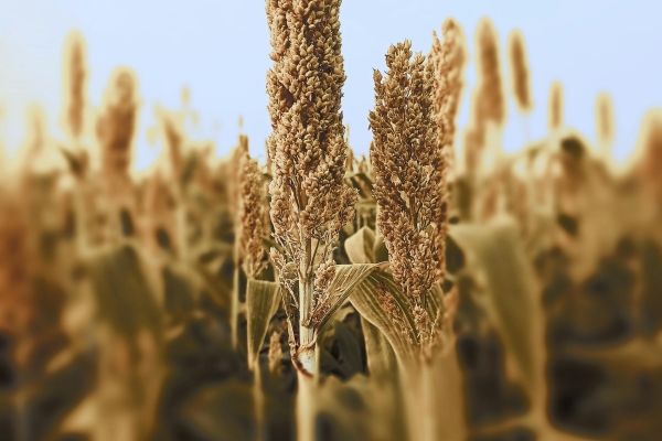
The newly released HRL Cropland layer represents a major advancement in agricultural mapping across Europe, spearheaded by VITO. Developed under the Copernicus Earth observation program, this high-resolution (10-meter) resource provides unparalleled insights into crop distribution and farming practices across the continent.
“These datasets are crucial tools for anyone looking to track changes in European agriculture,” explains Kasper Bonte, R&D expert at VITO. “They enable policymakers, researchers and farmers’ organisations to objectively map trends in crop rotation, fallow land, main crops and cover crops."
Key insights from the updated Cropland Layer
The cropland products are based on data from the Sentinel-1 and Sentinel-2 satellites and provide, in addition to information on the crop type of the main crop, insights into agricultural practices. These practices are classified according to five thematic indicators:
- Main crops: Identification of the timing and duration of primary crops.
- Uncovered soils: Detection of land without vegetation throughout the year.
- Second crops: Recognition of additional harvests within the same growing season.
- Fallow land: Mapping parcels set aside temporarily from farming.
- Annual crop characteristics: Evaluation of crop rotation over three consecutive years and cultivation intensity within the same year.
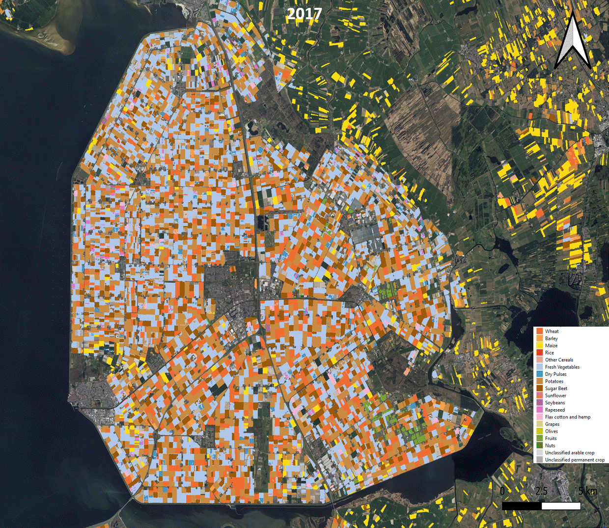
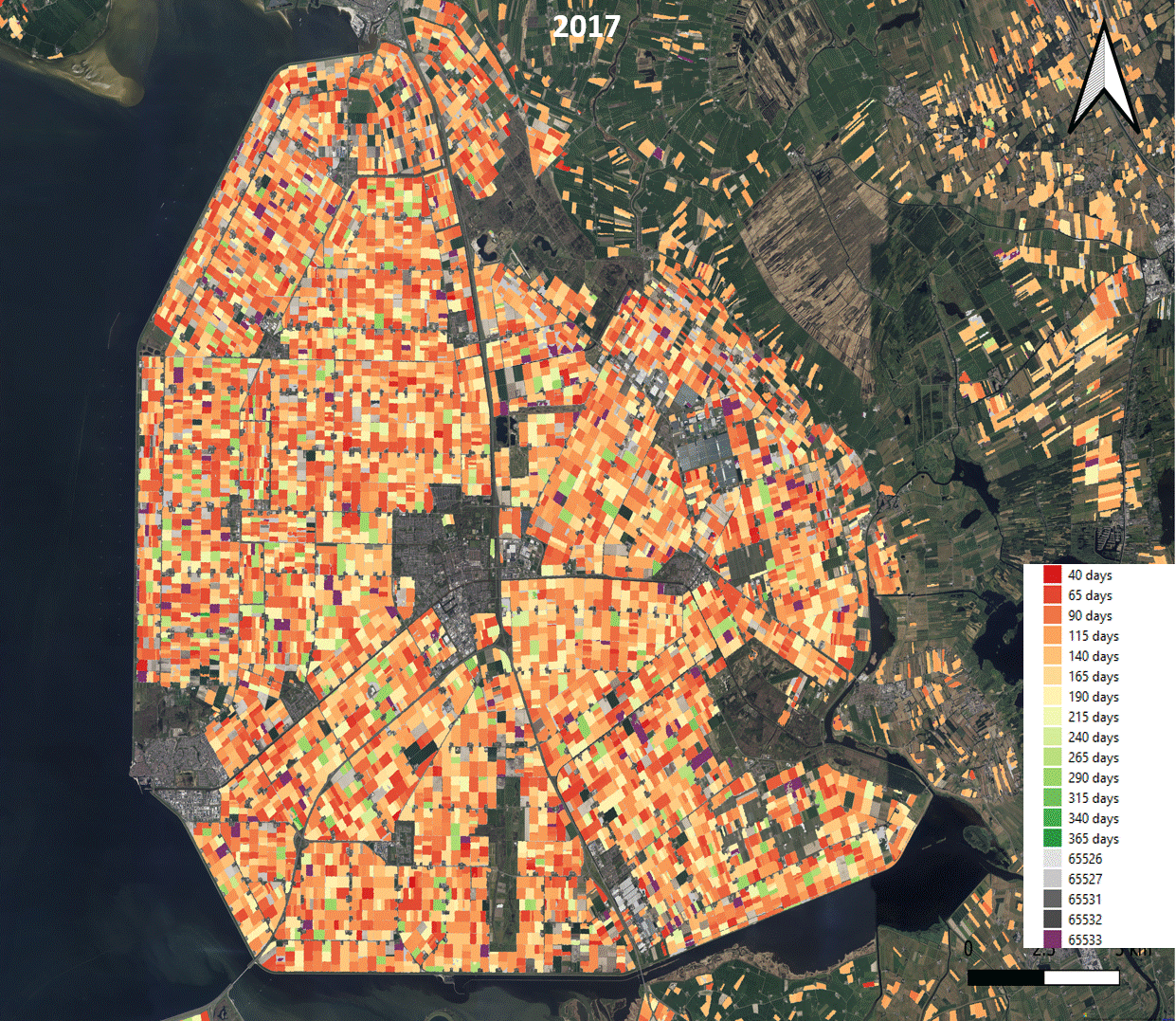
Left figure: Evolution of crop types in an agricultural area in the northwest of the Netherlands
Right figure: Seasonal development of the main crop in an agricultural area in the northwest of the Netherlands
Future-oriented monitoring
The launch of the HRL Cropland layer marks the completion of a longstanding gap within the CLMS portfolio. Thanks to the detailed datasets, policy decisions related to agriculture, food security, and sustainability can be more effectively supported.
The datasets (2017-2021) are now freely available for analysis via the Copernicus CLMS platform. Future updates covering the period 2022–2024 are already in preparation and will once again include full coverage of the United Kingdom.
Want to know more?
For more information or collaborations, contact Kasper Bonte.
View the datasets via Copernicus Land Monitoring Service.

About the HRL Consortium
The High Resolution Layer (HRL) products are developed by a consortium of European partners. GAF (Germany) leads the forest component, GeoVille (Austria) is responsible for grassland mapping and product distribution, and VITO (Belgium) manages the development of cropland layers. Together, they harness satellite data to advance a smarter and greener Europe.