
Mapping air quality
The EU directive on air quality and cleaner air for Europe requires that member states assess their air quality situation and provide information to the public about outdoor air quality. This information can be provided based on measurements or/and modelling.
To tackle air pollution in an efficient and effective way, it is essential that concentration patterns are assessed in detail and the local problem is sufficiently well understood. Only then, can successful abatement strategies be developed.
Measurements or modelling?
Based on measurement data from fixed monitoring stations and information on various emission sources in the region, VITO applies the ATMO-Street model to give a detailed overview of the air pollution patterns from the regional down to the street levels scale. In addition to these modelled air quality maps, it can be beneficial to complement this information with dedicated measurement campaigns, for specific pollutants or complex situations. This combined approach provides us with an even better understanding of the air quality problem.


Improving air quality
Air pollution is still a serious threat to the health of millions of citizens worldwide. Particularly to those living in high density urban agglomerations. Tackling the problem requires assessment and decision support tools that can identify air pollution sources down to street level and enable authorities to make the best informed decisions when preparing action plans.
VITO’s ATMOSYS services support regional and local authorities, industry and private companies in managing their air quality and effectively implementing air quality action plans. VITO also has a strong track record in the use of obstacle resolving microscale models based on Computational Fluid Dynamics (CFD). These models allow investigating the impact of very localized measures (screens, vegetation elements, building configurations,…) on the dispersion of pollutants in the air.
Want to know more about outdoor air quality?
Feel free to contact Stijn Janssen. He will be happy to tell you more about how you can use VITO's expertise for your own projects.

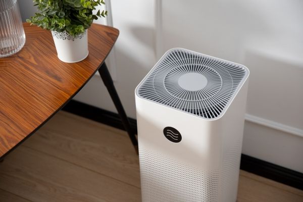
Indoor air quality studies
Ambient air quality, the building envelope and its ventilation system determine a considerable part of the indoor air quality (IAQ). But also indoor sources such as building materials and consumer products used indoors, affect the quality of the indoor environment. VITO identifies and quantifies the indoor sources and makes an accurate risk evaluation out of this.
What determines indoor air quality?
- Allergens such as house dust mites, pets, pollen can cause allergic reactions.
- Volatile organic compounds in furniture, air fresheners, decoration, polishes, paints and adhesives are released by evaporation.
- Harmful gases in building materials such as wood, insulation and floor coverings are released.
- The temperature and relative humidity.
- The outside air.
- The ventilation system.
How can I improve my indoor air?
- For new home: If possible choice construction site.
- Design of the house.
- Use of ventilation system.
- Avoid sources or limit at all.
Improve your air quality with the help of experts
VITO determines the indoor air quality for you and proposes solutions to improve it. Feel free to contact Gert for more information.