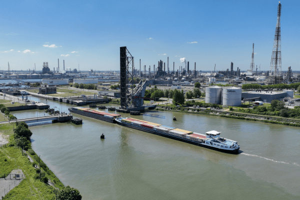
VITO gebruikt geologische- en mijnwatermodelleringen voor het opstellen van 3D modellen van de ondergrond en de grondwaterstroming. Wij gebruiken deze 3D-geologische en hydrogeologische modellen voor het beheren en kwantificeren van natuurlijke rijkdommen in de ondergrond. 

R&D
+32 14 33 56 10

Publicaties

A Hybrid Approach Using GIS-Based Fuzzy AHP-TOPSIS Assessing Flood Hazards along the South-Central Coast of Vietnam
Year: 
2020
Journal: 
APPLIED SCIENCES-BASEL
Nguyen, HX; Nguyen, AT; Ngo, AT; Phan, V; Nguyen, TD; Do, V; Dao, DC; Dang, DT; Nguyen, AT; Nguyen, TK; Hens, L
Differential effects of wetting and drying on soil CO2 concentration and flux in near-surface vs. deep soil layers
Year: 
2020
Journal: 
BIOGEOCHEMISTRY
Min, K; Berhe, AA; Khoi, CM; van Asperen, H; Gillabel, J; Six, J
Late Miocene increase in sediment accommodation rates in the southern North Sea Basin
Year: 
2020
Journal: 
GEOLOGICAL JOURNAL
Jef, D; Louwye, S
Introducing the Vale Formation in the southern central North Sea Basin, offshore Netherlands
Year: 
2019
Journal: 
MARINE AND PETROLEUM GEOLOGY
Deckers, J; Munsterman, D

Pages