
About VITO
At VITO, we believe that together we can give the world a future to look forward to. We are there for companies, governments and everyone who is helping to find a new balance between people, nature and the economy. As a science-to-technology partner, we are ready to support you with smart advice, tangible technological innovations or AI solutions for any sustainability issue.
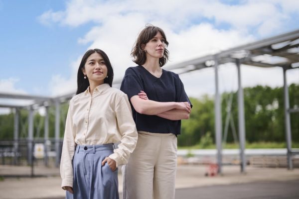
As one of Europe's top research centres, VITO converts scientific insights into ground-breaking technological innovations, AI solutions and policy advice with 1,300 employees. We do so with one objective: to give our world a future to look forward to.
Multidisciplinary knowledge accelerates the sustainable transition
With our multidisciplinary knowledge in more than 40 areas of expertise and unique lab, data and test infrastructure, we accelerate innovations on the road to a future in which a circular economy, smart climate solutions and a healthy living environment become a reality. Our mission comes to life through the commitment of 1,300 inspired visioneers and an extensive network of partners. Together, we translate science into innovative technologies and solutions that really work, also in today's complex reality. This is how we keep tomorrow's world a great place for everyone.
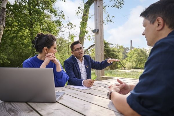
Partner of companies and governments
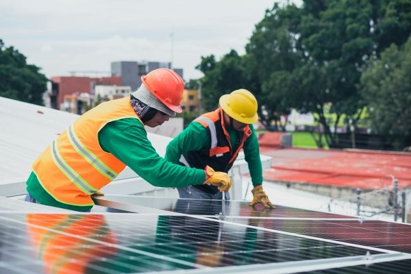
As a science-to-technology partner, we assist companies, governments and society in their sustainability transition. Thanks to our multidisciplinary approach and unique lab, scale-up and test infrastructure, we develop tangible technological innovations. In doing so, we accelerate the path to a regenerative economy where every building block is (re)deployed as optimally as possible, to smart climate solutions for resilient and safe ecosystems, and to a healthy living environment for humans that is in balance with industry, agriculture and nature.

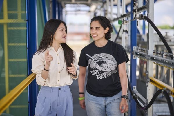
Multidisciplinary expertise teams
Our staff work together in multidisciplinary expertise teams around more than 40 research domains, in our own unique lab and data infrastructure and with our extensive network of stakeholders. Through positive transition thinking and in-depth techno-economic analyses, we provide systemic solutions that work not only on paper, but also in the complex reality of everyday life.
At VITO, we mobilise the power of science, technology, digitisation and collaboration to valorise sustainable solutions worldwide, so that we can continue to combine welfare and prosperity.

Corporate governance
VITO attaches great importance to good governance. Not only on paper but also in day-to-day reality. You can download our Corporate Governance Charter here. Following the European Whistleblower Directive and its transposition into Belgian law, VITO has drawn up a whistleblower policy. You can download it here.


Our alumni-netwerk
We like to keep in touch with our alumni. Were you once actively involved in VITO activities, as an employee, PhD student, postdoc or guest researcher? Then join the network of former colleagues today and continue to be part of the VITO vision. You can also join the group on LinkedIn.