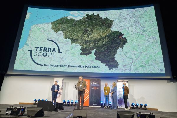
Destination Earth: urban heat maps in support of EU adaptation policy
VITO is starting up the development of an innovative interactive tool to map urban heat as part of Destination Earth: a flagship initiative of the European Commission to develop a highly accurate digital model of the Earth on a global scale.
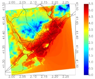
The maps in the tool will be generated by UrbClim, VITO’s physics-based high resolution urban climate model, and will be nested within large-scale atmospheric output provided by the global climate models on the DestinE Digital Twin platform in the making.
UrbClim will downscale the global climate model results for selected urban areas based on detailed terrain data, providing air temperature and thermal comfort indicators at a spatial resolution of 100m.
The result will be a practical tool for the EU’s Directorate-General for Regional and Urban Policy (DG REGIO) to assess the unevenly distributed impact of extreme heat events in European cities and for all involved European cities to assess the impact of climate change on urban heat islands and the possible adaptation measures.
On Monday April 24th we organised a successful first user exchange workshop in Brussels to help us define all the necessary output indicators and time horizons for our service. We want to thank all participants for their input and contribution!
Destination Earth is a European Union funded initiative and is implemented by ECMWF, ESA, and EUMETSAT