TerraFlood monitors floods in real time
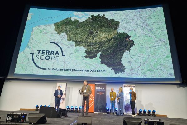
In the summer of 2021, the east of our country was hit by devastating floods. The flooding was mapped on a large geographical scale using radar satellite images and a new tool developed by bio-engineer Lisa Landuyt in cooperation with VITO. The tool is available on the Belgian open source platform TerraScope and is useful for both governments and private companies.
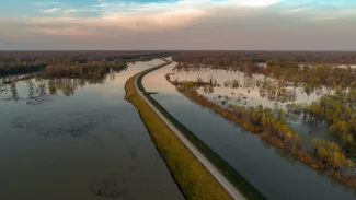
Making flooded areas visible on a map in near real-time and on a scale of hundreds of kilometres is what the new remote sensing tool TerraFlood does. The application was developed by bio-engineer Lisa Landuyt during her doctoral research at Ghent University, in cooperation with VITO and the Flanders Environment Agency (VMM).
“The idea arose in 2020 when our country had already been plagued by extreme rainfall and flooding”, says Jurgen Everaerts of VITO. “On radar images taken with the European Sentinel satellites, we saw interesting things that we wanted to investigate further. Together with the VMM we came in contact with Lisa. She wanted to devote a chapter of her doctoral thesis to the subject.”
Through the clouds
The satellites that make these radar images, also known as SAR images, use microwaves. The satellites send the waves to the earth's surface and measure their reflection. The great advantage of microwaves is that they pass through clouds. With optical satellite cameras, clouds obstruct the view, and they are of course abundant during floods.
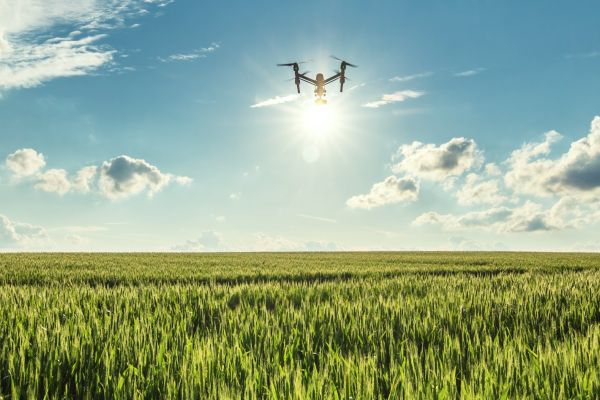
The advantage of satellite images, on the other hand, is that they can provide a complete and clear picture of an entire region, such as Flanders, in the blink of an eye. In this way, they can complement aerial images made with drones, for example - during floods the VMM sends out drones to measure the flooding locally. Finally, satellite images also show remote areas that have been flooded, while drones are mainly used in built-up areas.
Landuyt wrote new software to map floods based on Sentinel satellite data within a maximum of 24 hours. The software runs on the Terrascope platform, which is managed by VITO on behalf of the Belgian Science Policy Office and provides satellite images ready for analysis to end-users.
Landuyt validated the output of the TerraFlood tool using drone images of the VMM. As input, she also used other data sources for Flanders such as geographical elevation maps and flood risk models.
Useful for different parties
And then July 2021 came and our country, especially the eastern part, was hit by unprecedented floods. Landuyt had obtained her doctorate and her tool had already been used several times by the VMM. Wallonia wanted to use TerraFlood as well, to help assess the impact of the flood disaster.
Together with Everaerts, the brand-new Ghent PhD adapted the software for use in Wallonia. This resulted in a series of clear but also detailed overview maps (with a resolution of ten by ten metres) of the affected areas. One glance at the maps is enough to let the catastrophe of the summer of 2021 sink in.
In the future, the monitoring tool may be useful to estimate the severity of flooding during and immediately after a flood event. This can contribute to crisis management, but (re)insurance companies can also use it to their advantage when assessing damages.
“In addition, the tool can help determine the global flood risk for specific watercourses”, says Landuyt. “That is done based on historical radar images, where we want to discover, for instance, where a river floods most often and where it floods less frequently. Finally, the tool can also be used when carrying out the water assessment, which is obligatory for new construction projects.”
For the time being, VITO has no plans to set up a separate service around TerraFlood. “But that could change quickly if we notice that there is also demand for it outside the VMM or similar bodies in Wallonia”, says Everaerts. “We encourage interested potential users to reach out to us. What's more, they can even contribute to the development of a service. Because in this area we always try to build a bridge with the end users.”