VITO maps agriculture worldwide with unprecedented detail
VITO Remote Sensing, a long-standing global player in the use of satellite imagery for global agricultural monitoring, is mapping all the agricultural fields on our planet on behalf of the European Space Agency (ESA) with the new 'WorldCereal' system. WorldCereal is thus a game-changer for monitoring food security.
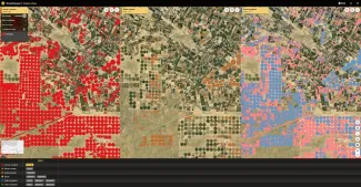
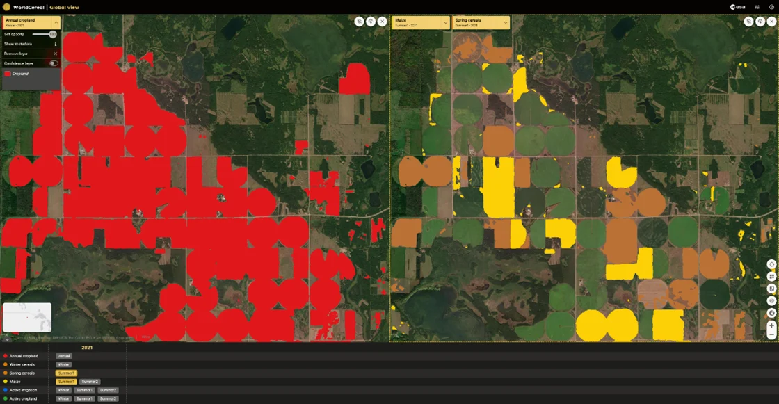
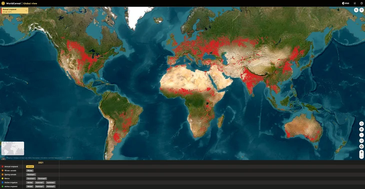
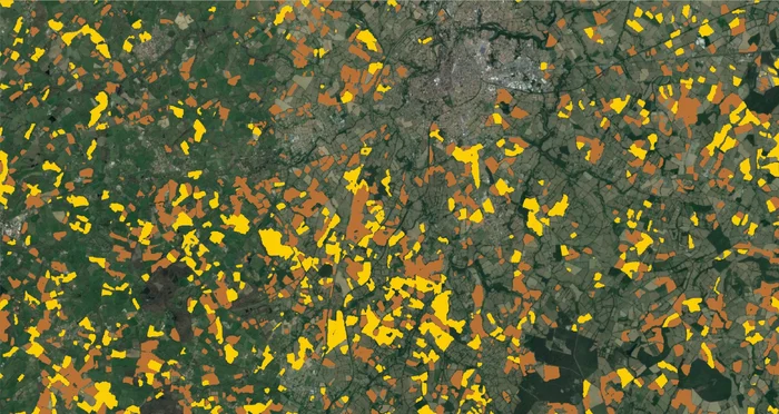
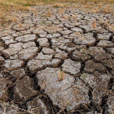
WorldCereal is an innovative and dynamic system developed by an international team led by VITO. WorldCereal provides the very first satellite-based grain and maize maps on a global scale with unprecedented detail. The team also mapped where irrigation practices were necessary for successful agriculture, providing essential information about water usage in times of climate change.
By utilizing freely available satellite data from the European Union's Copernicus program, WorldCereal can update crop maps for any region in the world just one month after each agricultural season.
WorldCereal offers crucial information that allows international organizations such as the United Nations Food and Agriculture Organization (FAO) to enhance and keep global agricultural statistics up to date. In collaboration with NASA, the system was already used in 2022 to objectively map agricultural activities in Ukraine.
WorldCereal is an open-source and scalable system, making it accessible not only to national and international institutions but also to the private sector, including insurance companies, for better monitoring of agricultural damage after extreme weather events.
An article in Nature Food, a reputable monthly journal on food research, highlights the importance of operationalizing and further developing this groundbreaking research for monitoring food security and achieving the Sustainable Development Goals (SDGs).
ESA and VITO are exploring possibilities to expand WorldCereal further.
More info