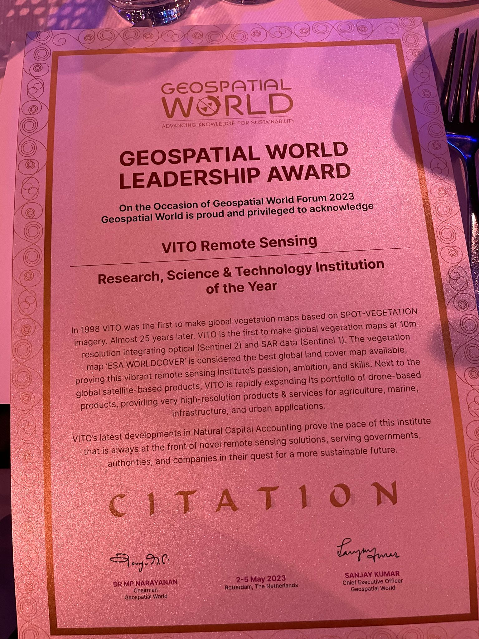
VITO remote sensing rewarded with geospatial world leadership award
Research, Science & Technology Institution of the year
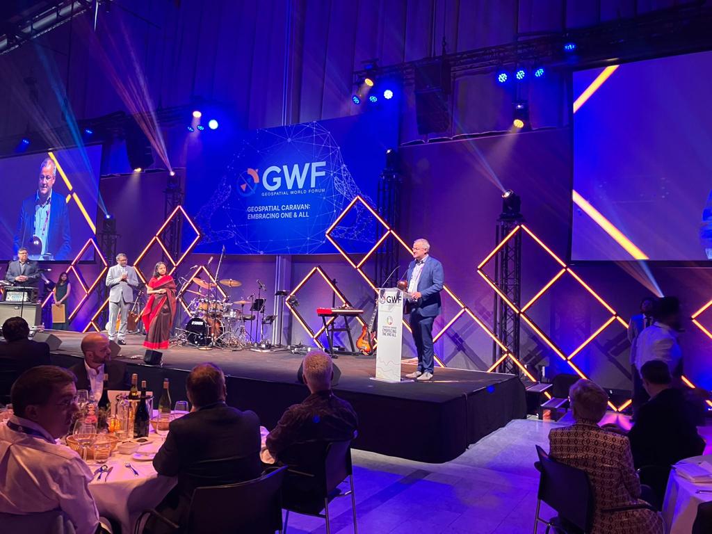
We feel honoured to announce that the Geospatial World Leadership Award Jury has unanimously decided to bestow the 'Research, Science & Technology Institution of the Year' to VITO Remote Sensing for its forefront research and development work, serving governments, authorities and companies in their quest for a sustainable future.

Geospatial World has constituted this award since 2007 with an objective to recognize, honor and celebrate professional excellence. Geospatial World, having its mission 'Advancing Knowledge for Sustainability', does evangelize and advocate for deployment and utilization of geospatial knowledge infrastructure and services across every sphere of socio-economy.
In 1998 VITO Remote Sensing was the first to make global vegetation maps based on SPOT-VEGETATION imagery. Now, 25 years later, VITO Remote Sensing is the first to make global vegetation maps at 10 m resolution integrating optical (Sentinel-2) and SAR (Sentinel-1) data. This map ‘ESA WorldCover’ is arguably the best global land cover map available today.
As a spin-off of ESA WorldCover, VITO Remote Sensing also led the consortium that created the 'ESA WorldCereal' map, the world's first dynamic system to provide seasonally-updated cropland and crop-type maps at 10-meter spatial resolution at global scale. The latter builds on our long-standing expertise in data science, AI, and remote sensing for agricultural applications.
Next to the global satellite-based products, we’re rapidly expanding our portfolio of drone-based products, providing very high resolution products & services for agriculture, marine, infrastructure, and urban applications. Our latest developments in Natural Capital Accounting show our pace of being always at the forefront of novel remote sensing solutions, serving governments, authorities, and companies in their quest for a more sustainable future.
It proves the passion, ambition and skills of a talented, international and dedicated team.
We'd like to express our sincere gratitude to Geospatial World, the jury, and of course all of our partners and collaborators who have made us grow over the years, in particular to UN-FAO.
VITO was nominated for this award by UN-FAO, recognizing VITO for its long-standing expertise in remote sensing and data science.
We're very proud and committed to continue developing remote sensing enabled solutions, together with our partners, to contribute to a sustainable society, economy and environment!