GeoFleX - GeoDynamix
GeoFleX is a platform developed for building software applications that require the inventorying, monitoring and/or modelling of a large number of physical elements that occur in space as points, lines or surfaces. Such applications can be developed to suit the client, the problem and available data, in a short period of time, at low cost, and, with the guarantee of reliability, professionalism and user-friendliness.
Solutions to complex spatial problems
We offer our expertise as a service where we work on solutions to complex spatial problems using three types of spatial tools: analysis, dynamic simulation and optimisation tools. We also develop a number of products to execute spatial tools and models efficiently.
What does GeoFleX do?
Mapping and modelling of:
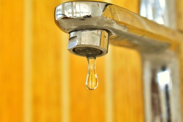
- (dangerous) emissions to water, discharged by various sectors
- (dangerous) emissions to air emitted by various sectors
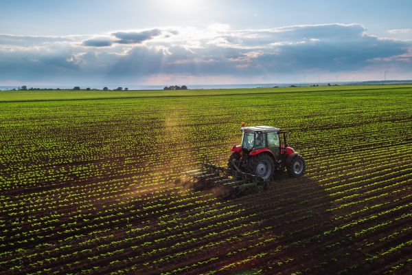
- (de)centralized energy demand from different sectors
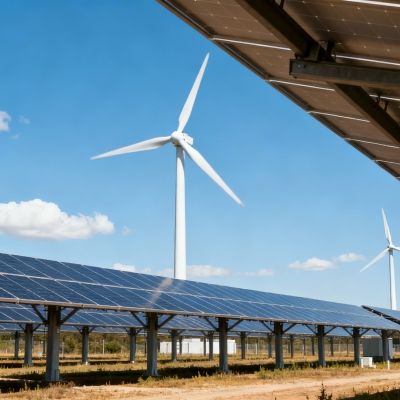
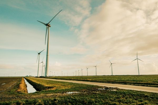
- (de)centralized energy production by different (renewable) energy technologies
- (additional) energy production potential, centralized/decentralized, by different technologies and a degree of realization according to different scenarios
- Heat maps, showing locations where residual heat could potentially meet the heat demand of nearby industry, services, commerce, households, ...
- ...
GeoFleX products
Important features
- Geographically explicit, intermediate and final results presented on maps at high spatial resolutions
- Interactively adjustable and expandable according to the needs and available data
- Visualisation and reporting of results at the level of adjustable (administrative) spatial subdivisions
Advantages
- Customised applications
- Simple and flexible solutions for complex spatial problems
- High resolution, large spatial detail, built-in necessary GIS functionality, exportable maps and data
- User-friendly, steep learning curve, possibility for tailor-made on the job training
- The client becomes the owner of the application, fills and uses it (co-creation)
Would you like to know more about GeoFleX?
Karolien will be happy to tell you more about our tools and expertise.