Greater insight into wildfires thanks to geo-intelligence
From Portugal and Spain to France: Europe is increasingly facing wildfires that spread at lightning speed. For emergency services, every minute counts. An up-to-date and reliable picture of the situation on the ground is therefore crucial.
Using geo-intelligence, VITO helps public authorities and emergency services to better prevent wildfires, tackle them more effectively and assess their impact afterwards. A concrete example is an AI application that provides fire crews with an up-to-date picture of the situation on the ground during operations.
A real-time view during the operation
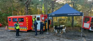
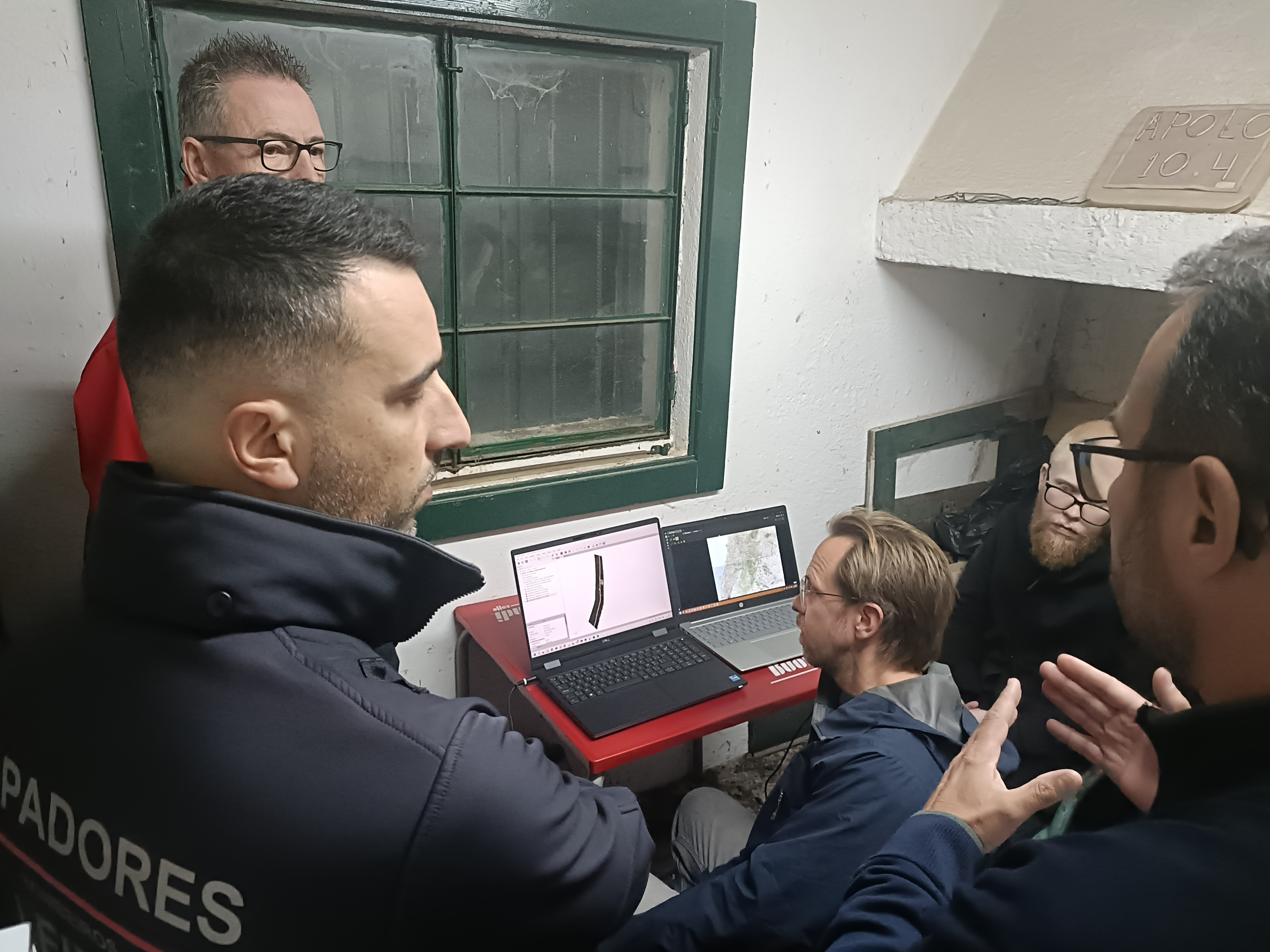
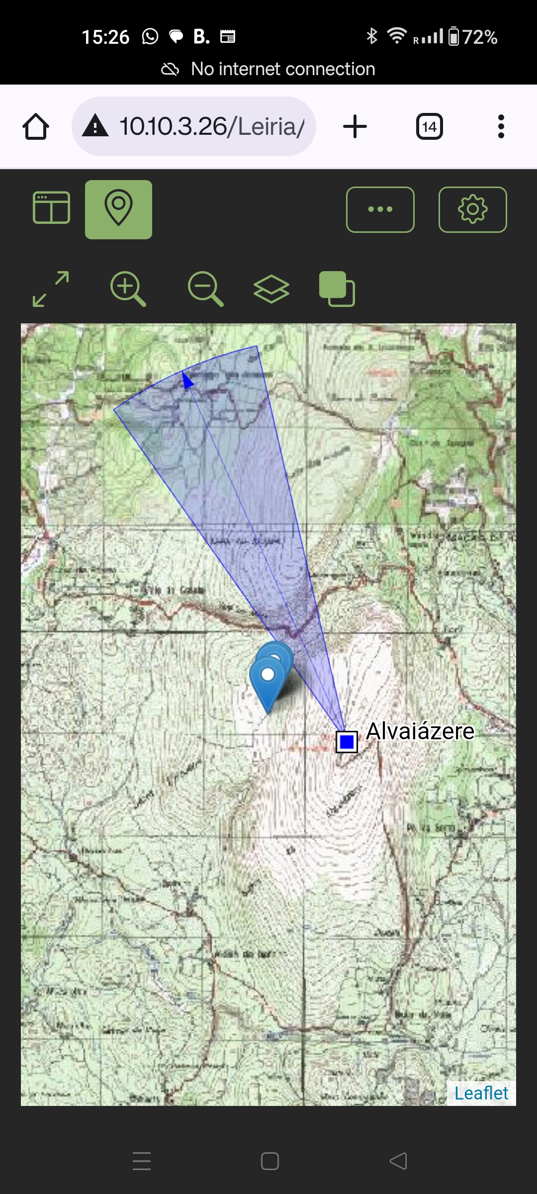
Drone footage collected by fire crews during wildfires can be analysed using AI to automatically detect and accurately locate people and vehicles. This helps response teams to pinpoint where help is needed and organise their operations more efficiently. In addition to information from the ground, they thus also have access to a real-time digital overview that integrates directly with their existing systems.
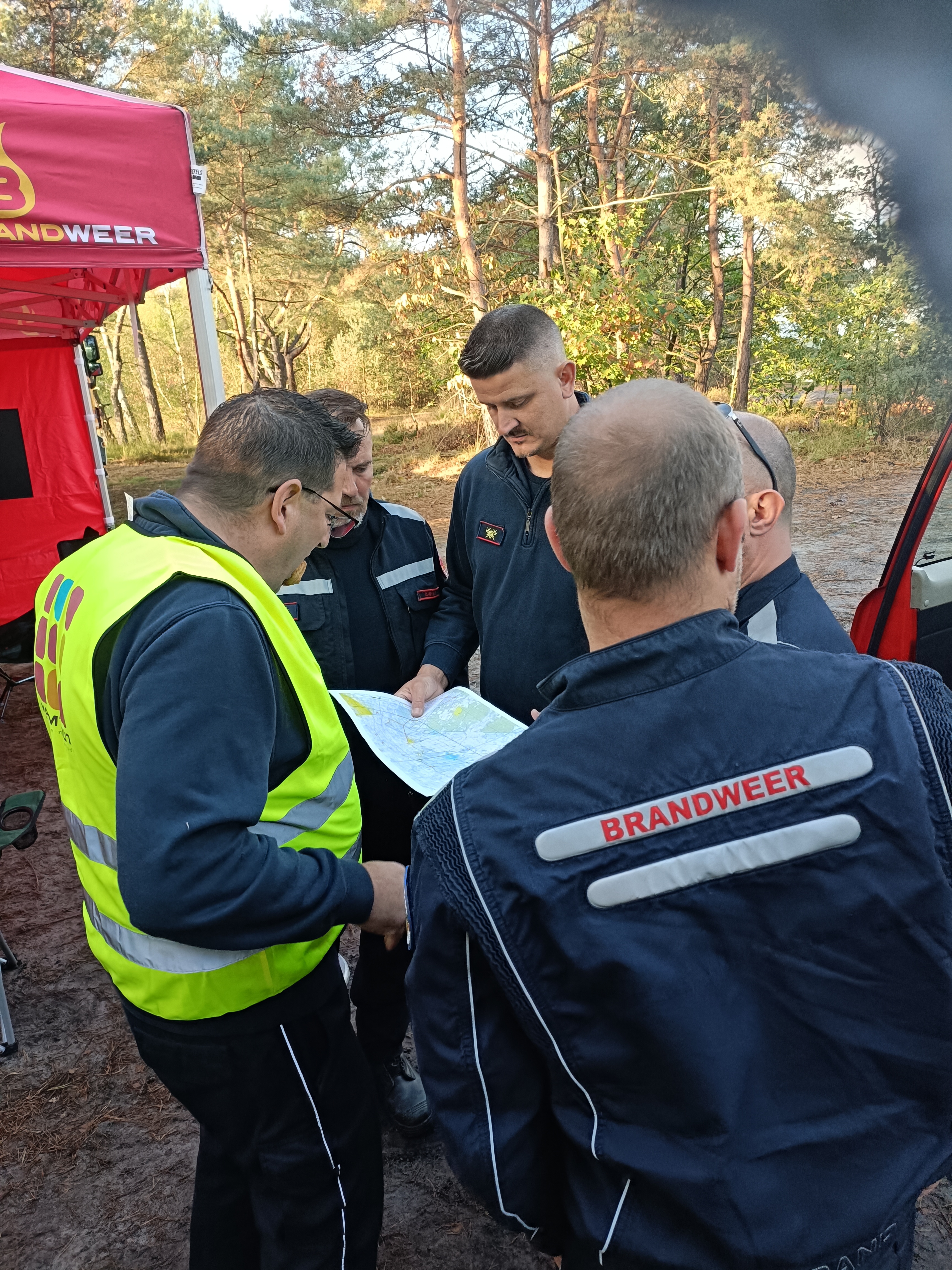
VITO developed the application as part of the European Space Agency’s (ESA) CSS Smart Connect project, in collaboration with the Rand Fire Brigade in Schilde and the Portuguese fire brigades of Coimbra and Leiria.
From demonstration to operational service
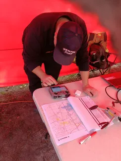
The functionality is now also available via MAPEO, VITO’s operational platform for geospatial image processing. This enables fire services to use the application without the need for a local installation. Via web services, they upload their drone imagery to a secure cloud, where it is automatically analysed. The analysis results are then available for viewing and downloading. The application can be further expanded based on users’ needs, for example to distinguish between firefighters and members of the public, or to detect whether people are moving or lying motionless on the ground.
Geo-intelligence throughout the entire fire cycle
The European Commission and ESA are investing heavily in applications that help countries to better prevent, combat and monitor wildfires. VITO is translating these innovations into practical solutions that public authorities and emergency services can use on a daily basis.
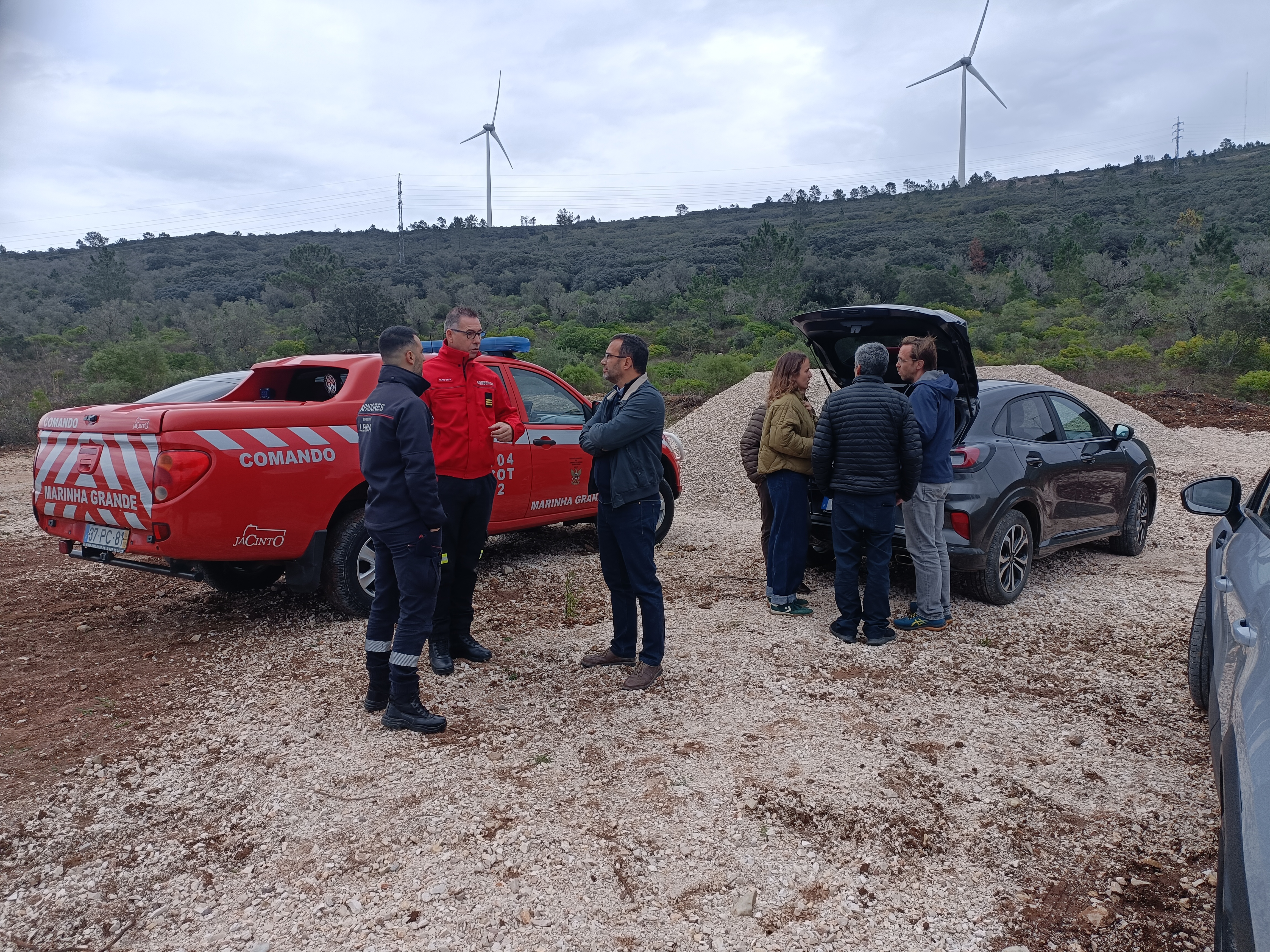
In April 2026, the AI application was successfully tested during a live demonstration near Alvaiázere, in collaboration with the fire brigades of Leiria and Coimbra, a region of Portugal that has been severely affected by wildfires on several occasions in recent years.
Learn more about VITO Remote Sensing