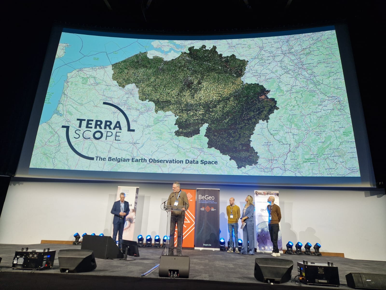
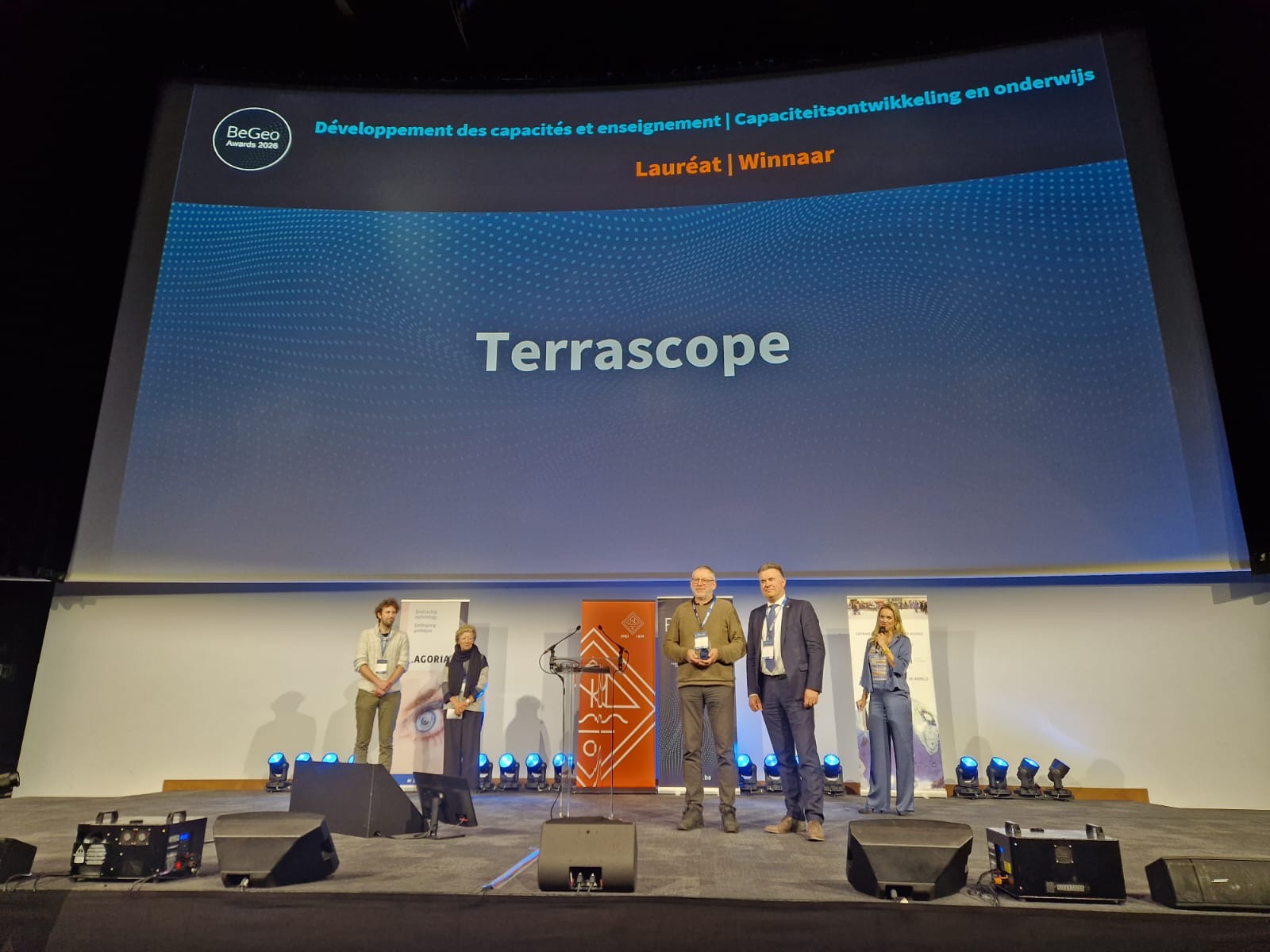
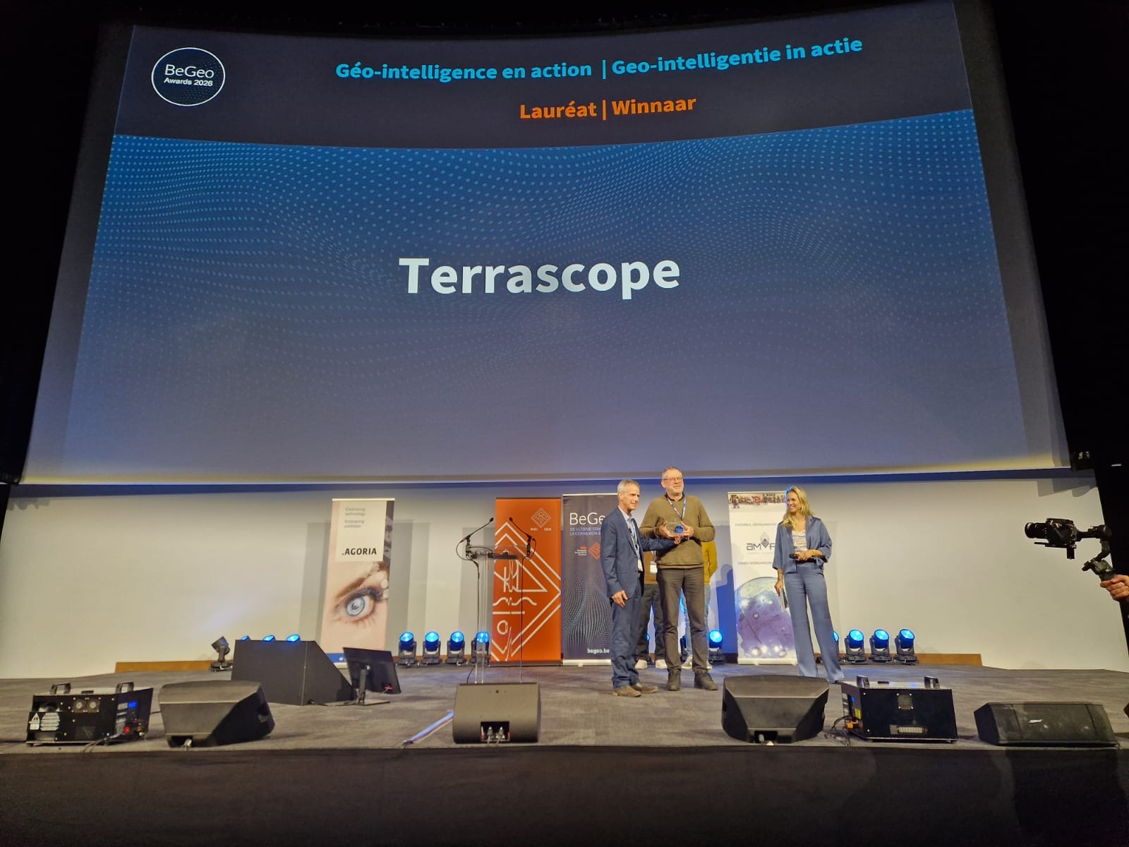
Terrascope wins two BeGeo Awards
Terrascope, the satellite data platform developed by VITO, has won two BeGeo Awards. The platform was recognised in the categories Capacity building and education and Geo intelligence in action. With these awards, the jury acknowledges both Terrascope’s role in strengthening knowledge of satellite data and its concrete applications in areas such as air quality, agriculture and water management.
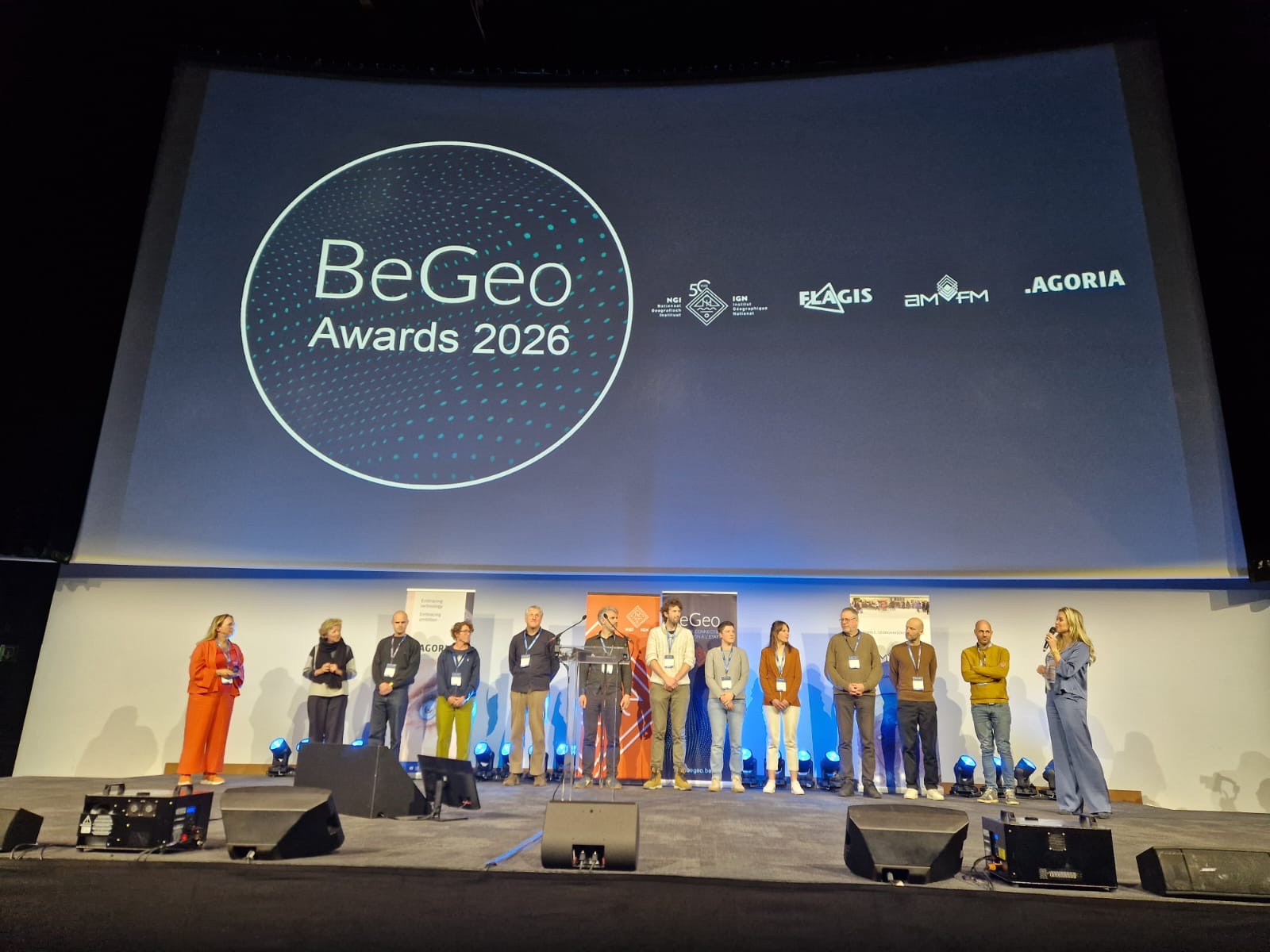
The awards were presented at Brussels Expo during the biennial BeGeo event, an initiative of the National Geographic Institute (NGI) in collaboration with FLAGIS, AM/FM GIS Belux and Agoria.
Recognition for knowledge and application
The award for Capacity building and education highlights Terrascope’s role in strengthening knowledge and expertise in satellite data. By providing open access to data and online analysis tools, the platform supports both research and practical applications. At the same time, it makes advanced technology accessible to a wide range of users.
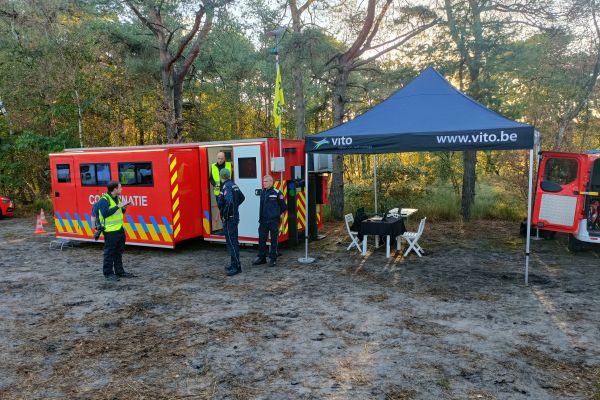
With the Geo‑intelligence in action award, the jury recognises how Terrascope translates satellite data into concrete applications. Users rely on the platform for applications such as air quality monitoring, agricultural analysis, urban development, water management and crisis management.
From satellite data to actionable insights
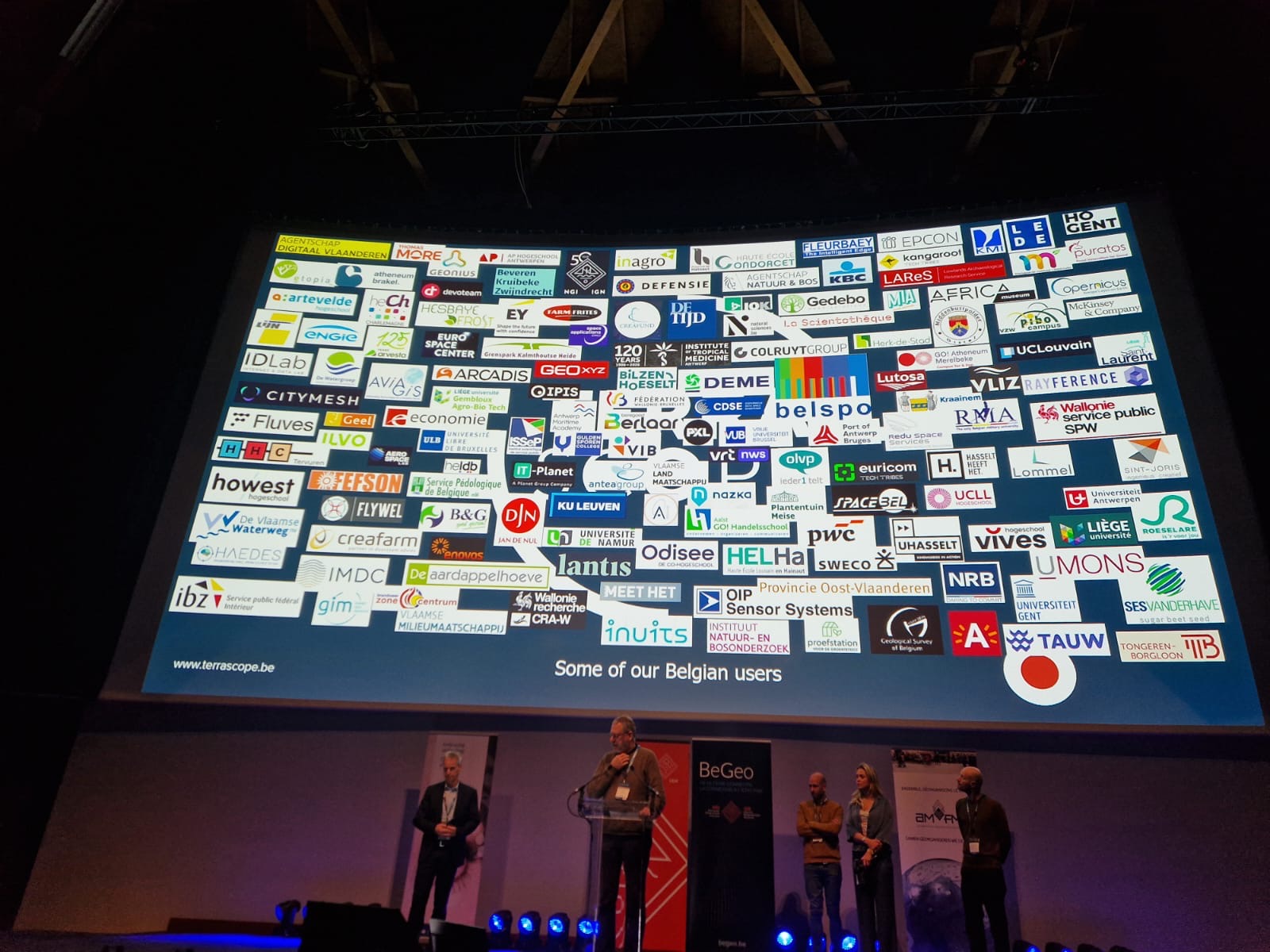
Terrascope is the Belgian Earth Observation Data Space and combines large volumes of satellite data with powerful cloud‑based analysis tools. The platform was developed and continues to be developed by VITO on behalf of BELSPO (Belgian Science Policy Office). Today, more than 38,000 users make use of the platform.
Users can process large amounts of satellite data and convert them into actionable insights for policy, research and practical applications. Through its integration with the Copernicus Data Space Ecosystem, users also gain access to a broader range of data and services. The platform encourages collaboration between government, research, industry and citizens.
Continuous innovation
Terrascope continues to evolve. The platform has recently been expanded with additional Sentinel datasets, supporting applications in areas such as agriculture, biodiversity monitoring, and water and air quality monitoring.
The platform also offers extensive cloud capabilities, enabling thousands of users to process data flexibly, regardless of volume, for both research and operational applications.
Looking ahead
Terrascope continues to focus on further growth and usability. Upcoming developments include the integration of high‑resolution data, such as aerial and drone imagery, as well as a renewed interface.
In addition, an AI agent is being developed to make satellite image processing more accessible, allowing users without a technical background to work more easily with the data.
Collaboration with federal scientific institutions, including the Belgian Institute for Space Aeronomy and the Royal Belgian Institute of Natural Sciences, will also be further strengthened.
Broad impact
With this double award, Terrascope reinforces its position as a leading platform that translates satellite data into concrete applications. In doing so, it contributes to solutions for challenges related to climate change, the living environment and sustainable development.