Wageningen University & Research and VITO join forces to create a reference platform in drone-based research applications
VITO, a leading research institute in remote sensing and environmental innovation, and Wageningen University & Research (WUR), a global authority in agricultural sciences, announce a groundbreaking collaboration to advance drone-based imaging and data analytics in the agriculture and environmental monitoring domain. The partnership centres around VITO’s MAPEO platform, a cloud-based solution designed to transform raw drone data into actionable insights. Together, we will set new standards for data-driven research in agriculture and environmental science.

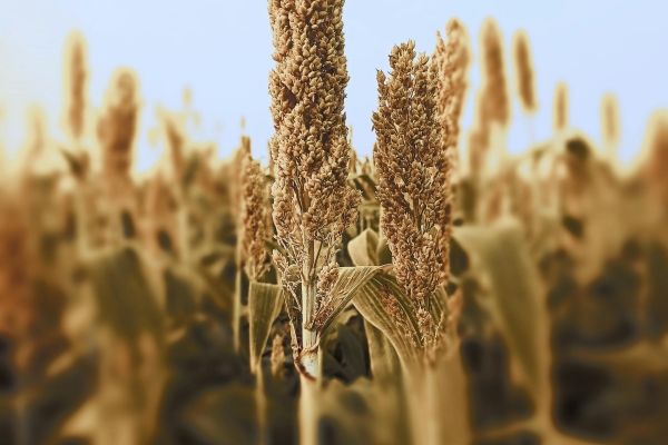
"Converting drone camera data into useful insights using the intuitive tool MAPEO is essential for our NPEC users to boost impact in data-driven phenotyping in breeding field trials."
— Rick van de Zedde, Program Manager Netherlands Plant Eco-phenotyping Center (NPEC), Wageningen University & Research

MAPEO images
A new era of collaborative research and innovation
This partnership marks a shift from traditional, transactional relationships between research institutes to a long-term, co-innovation model built on trust, transparency, and shared goals. By combining VITO’s expertise in remote sensing and data science with WUR’s leadership in agricultural and environmental research, the collaboration aims to:
-
Foster a collaborative ecosystem where partners contribute to and benefit from shared technological advancements, ensuring equitable access to cutting-edge solutions.
-
Develop advanced algorithms for drone-based analysis, enabling precise monitoring of crop health, biodiversity, and ecosystem dynamics.
-
Accelerate innovation.
-
Establish an "innovation flywheel" where each partner strengthens the ecosystem, fostering continuous improvement and knowledge sharing.
"In partnership with Wageningen University & Research, we are advancing the science behind drone-based research and strengthening the MAPEO platform, empowering researchers and practitioners to make informed decisions that support a sustainable future in a fast-changing climate.”
— Jürgen Decloedt, Business and Relationship Development Manager, VITO

VITO’s MAPEO team: Jürgen Decloedt and Dries Raymaekers

WUR’s MAPEO team: Berry Onderstal, Lammert Kooistra, and Rick van de Zedde
Scaling impact for a sustainable future
The partnership between VITO and WUR is not only rooted in a shared commitment to multidisciplinary research and open innovation. This initiative also aligns with VITO’s mission to bridge the gap between research and operational deployment, ensuring that innovative solutions reach the market and deliver tangible benefits. Together, we aim to create scalable digital tools that translate research findings into practical applications for farmers, researchers, and policymakers for a sustainable future.